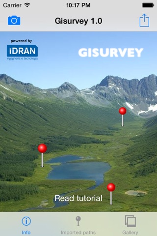


Gisurvey app for iPhone and iPad
Developer: IDRAN Ingegneria e Tecnologia s.r.l.
First release : 12 May 2014
App size: 31.95 Mb
GISURVEY app provides geo-professionals, scientists, engineers and surveyors an app to create a GIS database of the pictures taken during field surveys.
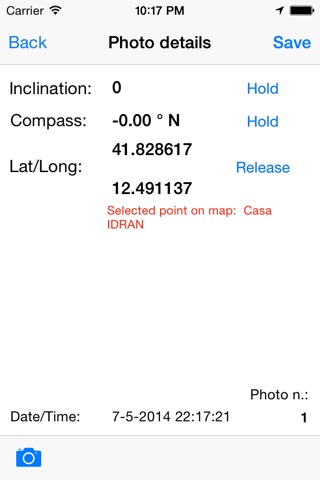
The GISURVEY app features an easy-to-use interface for converting your mobile device into a professional GPS camera able to create a GIS database of your pictures with the metadata of your field survey pictures.
GISURVEY main features include:
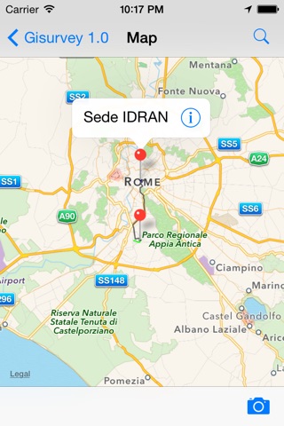
-import predefined maps and paths to optimize and plan your field trip
-automatically save not only the coordinates, but also the inclination, the direction and the time of your picture
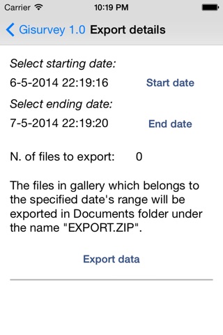
-picture gallery file management including the possibility to export your field survey data
-automatically create a CSV and HTML of the field survey picture data and metadata that can be easily imported/managed within standard commercial and open source GIS software
The limited price of the GISURVEY gives you to full and unrestricted acces to its functionalities and no further fees will be requested. GISURVEY is ads free.
GISURVEY was originally created by the team of GIS and hydrologic/hydraulic modelling professionals of IDRAN Ingegneria e tecnologia S.r.l., as an internal tool to optimize/plan the field surveyig activities, while working on GIS-based flood hazard modelling and mapping projects. Nevertheless, this first version of GISURVEY app is suited for any survey activity when pictures taken in the field must be mapped using GIS software.